
About Mount Bandai
Mount Bandai (磐梯山, Bandai san) is located in the Bandai Asahi National Park in Western Fukushima Prefecture. The now dormant volcano last erupted in 1888, resulting in the creation of the Urabandai Area known today for its beautiful multicolored ponds. Once a single peak, the volcanic eruption sculpted the mountain into its current form and produced many of the surrounding mountains.

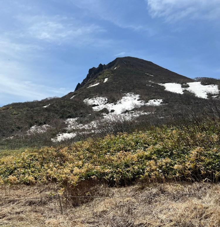
Mount Bandai looks very different depending on how it is viewed. A view from the south side or south foot is known as Omotebandai and shows an intact peak. While a view from the north side or north foot is called Urabandai. The mountain shows a wild shape due to the volcanic activity.
Mount Bandai was originally called Iwahashiyama which translates to “rock ladder to the sky”. With an official altitude of 1,816 meters above sea level, the mountain is known as Aizu Fuji for its resemblance to the famous peak. The peak was re measured in 2010 after the original triangulation station disappeared due to erosion.
Mount Bandai Trailheads

Happodai Trailhead (Closed In Winter)
Starting Point: West Side
Ascent 2 hours 15 minutes, Descent 1 hour 40 minutes *Easiest & Most Popular of the Climbing Routes
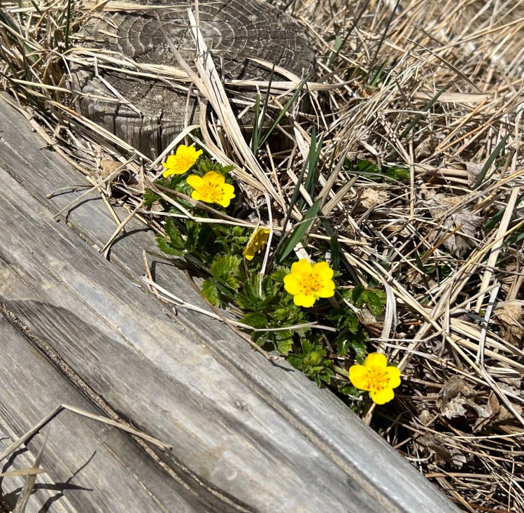
Highlights along the Happodai Trail include an abandoned mountain lodge next to an active hot spring, amazing views of Lake Hibara, and seasonal flower fields.
It takes about two hours to reach the Koboshimizu Mountain Hut which is the main rest station before the peak. The hut offers a wide array of drinks and light food options. In addition there are a variety of pins, postcards, and other souvenirs available. There is a large clearing along a gentle slope that gives wonderful views of Kitashiobara Village on Mount Bandai’s north side.
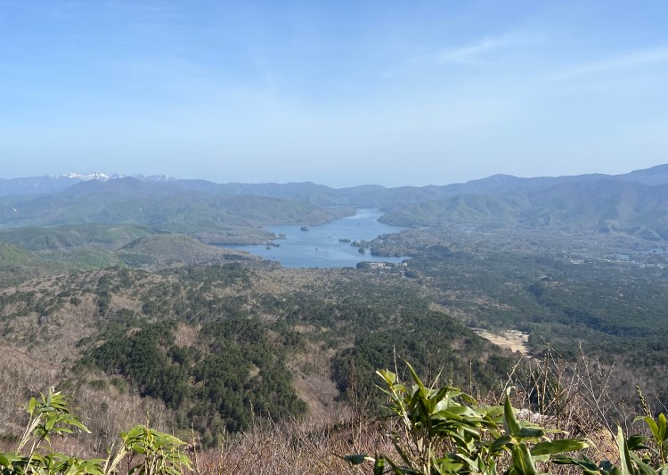
The final 20 or so minute ascent to the main peak is quite steep. We recommend taking your time. The top of Mount Bandai provides breathtaking 360 degree views of the Aizu Bandai area.
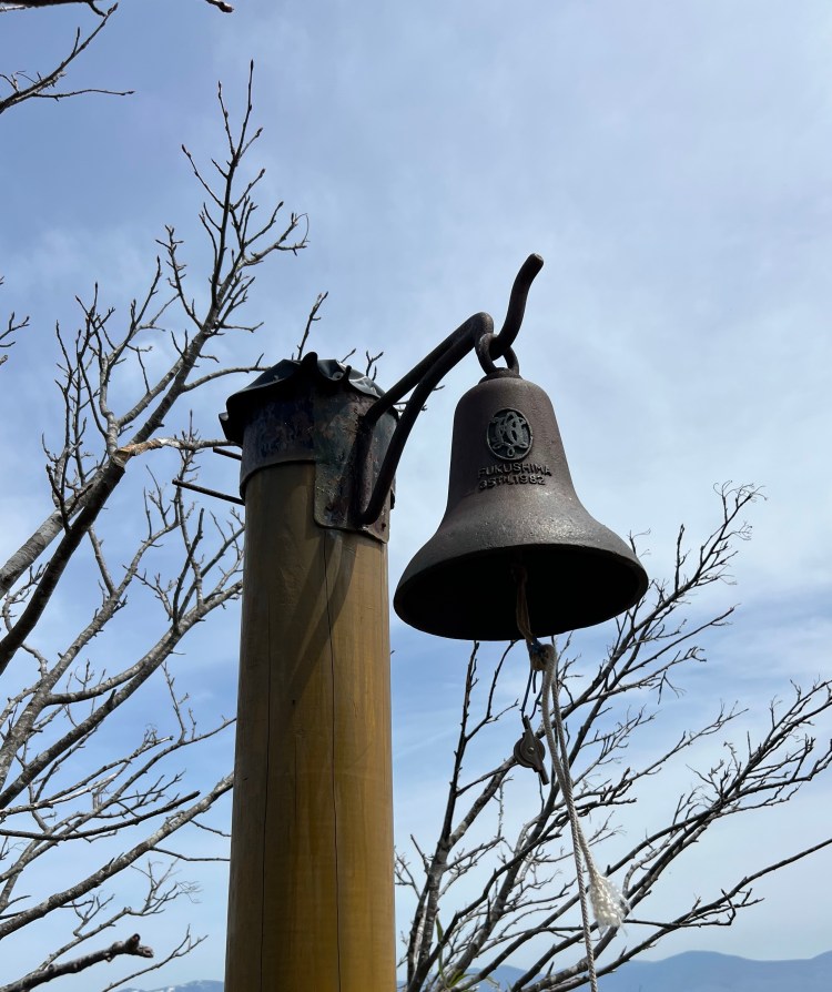
On the way back down, there is a bell near the mountain huts that you can ring to announce your successful climb.
Inawashiro Trailhead
Starting Point: South Side
Ascent 3 hours 30 minutes, Descent 2 hours 30 minutes
Starts on the south side of Mount Bandai at the Inawashiro Snow Paradise Ski Resort. Hiking trail follows the ski slopes. Has excellent views of Lake Inawashiro.
Okinajima Trailhead
Starting Point: South Side
Ascent 3 hours 30 minutes, Descent 2 hours 30 minutes *Most Direct Path to the Summit.
Nearby Attractions Include: Lake Inawashiro, Goshikinuma Ponds, Lake Hibara, Bandaisan Gold Line (Scenic Highway), Bandai-Azuma Lake Line (Scenic Highway), and hot springs.
Best Times to Climb Mount Bandai
- Late April – Early November
Things to Take into Consideration

If hiking in Late April ~ Early May there will likely still be snow on the mountain. Snow completely covers some portions of the trail. We recommend hiking poles to maintain your balance.

The spring snow melt makes some parts of the trail resemble a small creek. We recommend waterproof/water resistant boots.
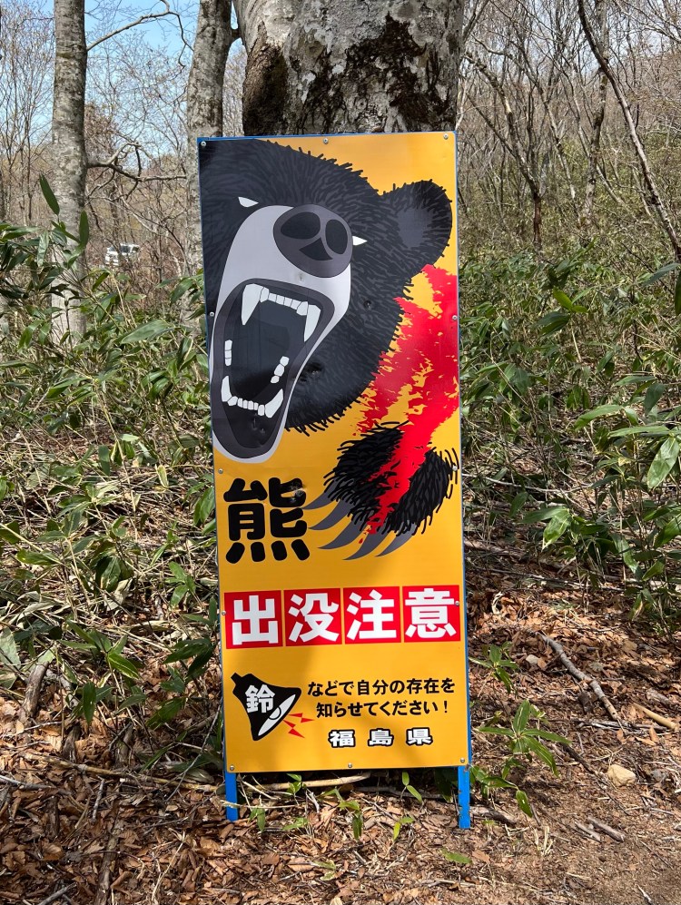
Trail food, plenty of fluids, sunscreen, a hat, and a bear bell are other necessities.

The two mountain huts are open from Early May to Early October and do not offer accommodations (only for breaks).
Unique Reasons to Climb Mount Bandai
- 1 of the 100 Famous Japanese Mountains
- Tallest Mountain in Fukushima Prefecture
- Amazing Views of Lake Inawashiro
- Mount Bandai Gold Line (Tohge Scenic Mountain Drive) to Happodai Parking Lot
How To Access Mount Bandai
By Public Transportation
- From Tokyo (Ueno Station) take a Tohoku Shinkansen Yamabiko bound for Morioka transferring at Koriyama Station to a JR Ban-Etsusai Line Rapid Train bound for Aizu-Wakamatsu getting off at Inawashiro Station *Quickest (1 hour 58 minutes, ¥8,700 one way per person) Note: JR Pass Compatible
- From Tokyo (Ueno Station) take a Keihin-Tohoku Line Train bound for Omiya transferring at Oji Station to a Aizu Bus bound for Aizu Wakamatsu getting off at Inawashiro Station (4 hours, ¥4,880 one way per person) Note: Partial JR Pass Compatible (bus not covered)
- From Tokyo (Shinjuku Station) take a Aizu Bus bound for Aizu Wakamatsu getting off at Inawashiro Station *Cheapest (4 hours 13 minutes, ¥4,700 one way per person) Note: Not JR Pass CompatibleNote: There is no public transportation from Inawashiro Station to any of the trailheads.We recommend renting a car for the day in either Aizu Wakamatsu, Koriyama, or Fukushima City.
By Car
- Bandai Kawahigashi IC (17.2 km Southwest)
- Inawashiro Bandaikogen IC (22.5 km Southeast)
- Kitakata IC (30 km West)
Best Mount Bandai Parking Lots
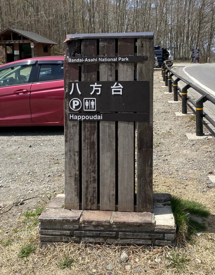
- Happodai Parking Lot (Free, Restrooms, Located in Bandai Town) *Parking Lot for Happodai Trailhead
- Happodai Parking Lot #2 (Free, Located in Bandai Town) *Overflow Parking Lot for Happodai Trailhead
- Hayama Central Parking Lot (Free, Located in Inawashiro Town) *Parking Lot for Inawashiro Trailhead
- Okinajima Hiking Trail Parking Lot (Free, Located in Inawashiro Town) *Parking Lot for Okinajima Trailhead